MADHUCA INDICA- Mahua
MADHUCA INDICAILUPPAI (TAMIL) – VRIKSHAYURVEDA The extract after taking its oil works as an insecticide and…


MADHUCA INDICAILUPPAI (TAMIL) – VRIKSHAYURVEDA The extract after taking its oil works as an insecticide and…
AMRUTHABALLI This climbing shrub is especially fond of climbing Neem trees, perhaps because of the qualities…
Darbha Grass or Kusha Grass is scientifically known as Desmostachya bipinnata, commonly known in English by…
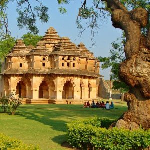
Take a look at some of the prominent tourist attractions of India
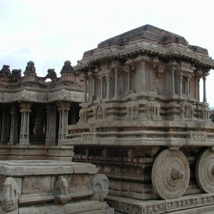
Take a look at the UNESCO identified World Heritage Sites in India
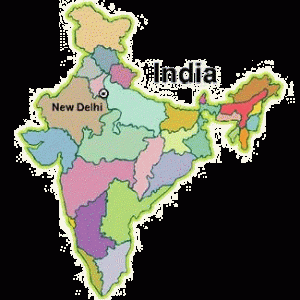
Explore various States of India
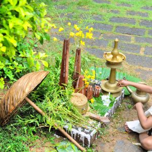
The Indian atmosphere is full of festive vibrations. Take a look at our most important festivals.

“If there is any land on this earth that can lay claim to be the blessed Punya Bhumi, to be the land to which all souls on this earth must come to account for Karma, the land to which every soul that is wending its way Godward must come to attain its last home, the land where humanity has attained its highest towards gentleness, towards generosity, towards purity, towards calmness, above all, the land of introspection and of spirituality — it is India.”

“If I were to look over the whole world to find out the country most richly endowed with all the wealth, power, and beauty that nature can bestow—in some parts a very paradise on earth—I should point to India.”
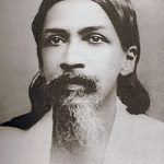
“India cannot perish, our race cannot become extinct, because among all the divisions of mankind it is to India that is reserved the highest and the most splendid destiny, the most essential to the future of the human race. It is she who must send forth from herself the future religion of the entire world, the Eternal Religion which is to harmonise all religion, science and philosophies and make mankind one soul.”

“I believe that the present of India is deep-rooted in her past, and that before her shines a glorious future.”
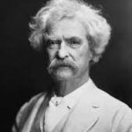
“India is the cradle of human race, the birthplace of human speech, the mother of history, the grandmother of legend, and the grandmother of tradition.”